Nepal Entry Visa Procedures
Foreigners who intend to visit Nepal must hold a valid Passport(6 months) or any travel documents equivalent to a passport issued by the government for visiting a foreign country.
You can obtain the Nepal visa upon arrival at Tribhuvan International Airport, Kathmandu. And you can apply for the Nepal visa online now.
Note: Free Visa for Chinese citizens including HKSAR Passport holders.
Nepal Trekking Season’s
The two most pleasant seasons for trekking in Nepal are spring and autumn. The spring season is considered to be from March to May. During the spring months, flowers are in bloom in the forests so it can be quite beautiful though it can also be a bit cloudy, especially in the afternoon.
The Autumn season is considered from September through November. In the autumn season, you will get the best mountain views, with clear skies usually all day long. The fall season is slightly cooler with average temperatures.
December is also generally the driest month of the year. Trekking in Nepal is possible at any time of the year. It is worth remembering that we will get 75 percent of annual rainfall from mid-June through August. This period is considered the monsoon season.
Winter in Nepal is considered December through February. These months are the coldest in temperatures depending on where you are. At higher altitudes in the Himalayas, temperatures will drop below freezing and it can be extremely cold at night.
A Typical Day of the Trekking
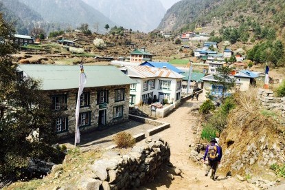
The trekking day begins early at around 6.30 AM in the morning with a cup of wake-up tea. Before breakfast, pack your duffel bag which is carried by porters by keeping some essential things in your daypack. After breakfast, we usually start a morning walk. After 3-4 hrs walking, we will stop for lunch. Allowing about 1 - 2 hours for lunch break then we continue the walk to the destination where we stay overnight.
We reach the teahouse/camp by afternoon, as the afternoon walk is generally shorter than the morning. Check-in the room and having afternoon tea, side trips, or other activities are generally organized. You can spend the afternoon as you wish then meet for dinner around 07:00 PM and sleep.
Geography of Nepal
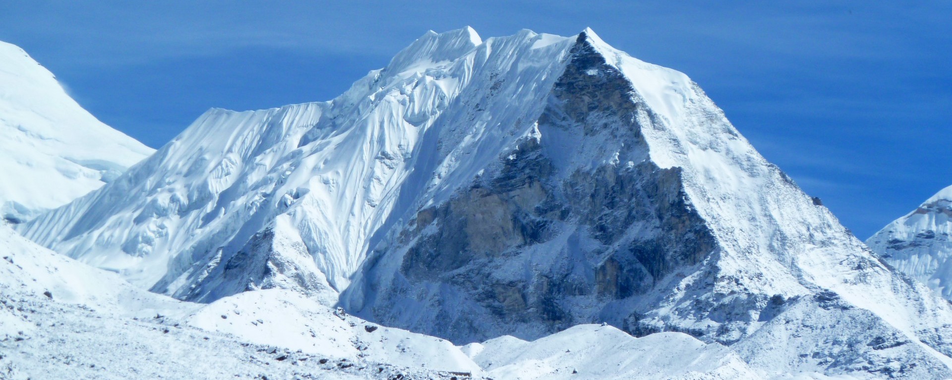
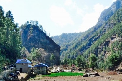
Nepal covers a land area of 147,181SQKM, stretching 800 km from east to west and 90 to 230 km from north to south. Nepal is landlocked between China (including the Chinese autonomous region of Tibet) and India. Nepal has three geographic regions; the mountainous Himalayan belt (including 8 of the 14 highest mountain peaks in the world), the hill region, and the plains region.
Nepal contains the greatest altitude variation on earth, from the lowland Terai, at almost sea level to Mount Everest at 8848.87 meters. Nepal is divided into seven states and seventy-seven districts. The high Himalayas occupy 16% of the total land area of Nepal with elevations ranging from 4,000 m to above 8,848.87 m.
This region accommodates eight of the highest peaks in the world; Mt. Everest (8848.87m), Kanchenjunga (8586m), Lhotse (8516m), Cho-Oyu (8201m), Dhaulagiri (8167m), Makalu (8463m), Manaslu (8163m), and Annapurna I (8091m).
Currency in Nepal
Nepali Rupee notes come in Rupees 5, 10, 20, 50, 100, 500, 1000 denominations. Coins come in Rs. 1 and 2 denominations. Foreign currencies must be exchanged only through banks or authorized money exchangers. Banks are usually open from 09:30 a.m. to 3:00 p.m. Sundays through Thursdays and from 10.00 a.m. to 1:00 p.m. on Fridays. Saturdays are closed.
Credit Cards: All major cards are accepted for tourist services. There is usually a 4% mark-up on top of the price.
Effects of Global Warming & Climate Change
Nepal is one of the most vulnerable countries in South Asia to climate change, yet it has limited capacity to address the impacts of climate change or to take advantage of the opportunities. It has a highly variable climate and fragile ecosystems. The Himalayan glaciers are retreating faster than any other major body of ice.
With climate change, climate variability, a driver of poverty in a country where 60% of the population is reliant on agriculture, will only increase. The monsoon rains are already more intense, but of shorter duration, and are arriving later, which has a devastating impact on the rice fields.
The Greater Himalaya region is the water tower of Asia. Nepal sits at a strategic point, in the headwaters of the Ganges basin. 500 million people live in this basin, which is one of the most flood-prone in the world. Currently, Nepal's Himalayan Rivers supply 70% of the dry season water in the Ganges and 30% of the peak floodwaters.
Nepal's potential for hydropower is 100 times its existing energy use. The current development of rivers is sub-optimal, focusing solely on hydro rather than also storing water in the summer to use for irrigation during the rest of the year and reduce flooding.
Clothing in Nepal
From April to the end of September, it is warm in Kathmandu. In Nepal, clothing for traveling purposes should be comfortable and lightweight. You can also wear longer shorts provided that it is weather-friendly.
In the months of October to the end of March, days are usually warm and evenings are cool. Put on your summer clothes during the daytime but in the evening and night, it is advisable to carry a light jacket.
The Winter season starts from December to February. One must be equipped with sufficient winter wears like down jackets, sweaters, trousers, etc to stay protected from the cold. In accordance with Nepali weather, you can have your clothes well-packed in your luggage or you can also purchase clothes of your choice and needs from the clothing stores in Kathmandu.
Health Issues Regarding Altitude Sickness
Those in good health should have no difficulty traveling to Nepal. But people with health conditions including asthma, diabetes, high blood pressure, epilepsy, and cardiac problems should seek a doctor’s approval before planning a trip to Nepal.
Trekking and Climbing in Nepal involve high altitude and can be strenuous. A simple headache, fever, loss of appetite, or stomach disorders can happen before acclimatization. Altitude sickness, if not treated when symptoms first appear, can lead to death. Often known as AMS or Acute Mountain Sickness, it can ruin a Treks and Climbings and should be treated very seriously.
The Himalayan Mountains begin where other mountain ranges end. As altitude increases, especially above 3,000 meters, the air becomes thinner, creating certain difficulties for the human body. Youth, strength, and fitness make no difference here.
The only prevention is to give one's body time to adjust to high altitudes. Those who go too high too fast are liable to be victims of Acute Mountain Sickness. To minimize its threat, we recommend following this advice:
01. Drink adequate fluids. At 4,300 meters, for example, the body requires 3 to 4 liters of liquid a day. At low altitudes try to drink at least 1 liter a day.
02. Accept the fact that you cannot go very high if your time is short.
03. Learn to recognize the symptoms of AMS: headache, nausea, loss of appetite, sleeplessness, fluid retention, and/or swelling of the body. The cure is to climb no higher until the symptoms have disappeared.
04. Do not expect everyone in your group to acclimatize at the same rate. If you experience such discomfort, tell the accompanying Best Nepal Trekking facilitators immediately.
05. For the sake of safety, if the trek leader deems it necessary to ask a participant who is suffering from AMS to descend, he will have the authority to do so even though it may go against the will of that participant.
People and Religions of Nepal
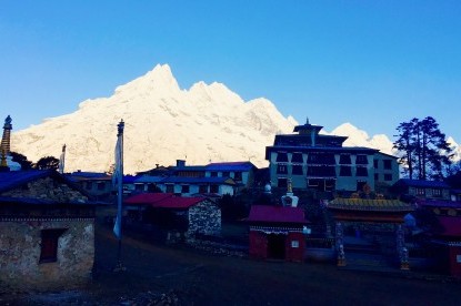
Nepalese people are mainly divided into two distinct groups, the Indo-Aryans and the Mangoloids. Since 2008AD, Nepal has been declared a secular country. The Hindu Temples and Buddhist Shrines are scattered all over the Kingdom. Nepal is the birthplace of Lord Buddha, the Herald of Peace, and The Light of Asia. Hindus, Buddhists, Muslims, and Christians live together in harmony. And other nature worshippers, too, exist here.
The ethnic diversity and customs of Nepal make Nepal the most fascinating tourist destination in the world. Official statistics indicate that the Nepali population of around 35 million includes more than 90 ethnic groups speaking 100 different languages and dialects.
History of Nepal
Nepal has witnessed many rulers and dynasties play contributing roles in molding Nepal to present-day Modern Nepal. Kirat ruled Nepal from the 9th century BC to the 1st century AD Later Lichchhavis took over Karin from the 3rd to 13th century and then was followed by Thakuri belonging to the Malla dynasty.
Then the Shah Dynasty held the reign. Prithvi Narayan Shah is solely responsible for today’s modern-day Nepal for he is the one who united different kingdoms into one single nation in 1769. In 1846, the Kot massacre led by Jung Bahadur Rana back-seated the power of the monarchy and made the Rana regime more powerful. In 1950 Tribhuvan with the support from India restored monarchy.
A coalition government comprising the Nepali Congress Party and the Ranas was thereafter installed with the promise of free elections in 1952. In 1960, Mahindra, son of Tribhuvan tactically established the Panchayat system, meaning ‘five councils system,' by engineering a coup, declaring a new constitution, imprisoning all the leaders of the then government, and enforcing a ban on all political activities.
People’s movement of 1990 opened up a new chapter for a decade of democracy in Nepal which led to multiparty democracy with a constitutional monarchy. Democracy came with a heavy price leading to incompetent political leaders, political conflicts, Maoist insurgency, corruption, and downfall in the national economy.
The royal family massacre in 2001 left the whole world in complete shock. Gyanendra was crowned Nepal’s king after his brother, Birendra’s assassination. With the advent of 2006, all major political parties committed to reform their past mistakes and Maoist rebels came together with the support from Nepali people and jointly went on several days of strikes to restore democracy. Finally, Gyanendra Shah handed over the political power to the Nepali people, and democracy was once again restored in Nepal. Then Maoists became the biggest political party in Nepal's 2008 election. Nepal recently(September 2015) declared a new constitution for the country.
Shopping in Nepal
In the major cities of Nepal, like Kathmandu, Patan, Bhaktapur, and Pokhara, you will find well-resourced shopping malls. From clothes, shoes, accessories, sportswear, electronic goods, cosmetics, food, and decoration items to kitchen wares you can purchase any goods. In Nepal shopping for both local and imported goods is possible. Most shops and clothing stores have fixed prices tagged along with their goods.
But in the case of small shops, you can bargain the prices for purchasing goods. While shopping in Nepal it is advisable to carry Nepali currency in cash as most of the shops only accept cash. In Kathmandu, Thamel, New-road, and Durbar-Marg are the most popular Shopping centers.
What Foods You Will Expect In Nepal
Kathmandu is a paradise for food lovers. Besides Nepali food, Nepal restaurants here serve varieties of hygienic delicacies from Indian, Chinese, Tibetan, Japanese, Italian, Australian, Russian, Korean, Mexican, Thai, etc to continental at a remarkably reasonable price. If you desire to lead a Nepali lifestyle during your stay in Nepal, then there are also some restaurants serving pure Nepali cuisine (Dal Bhat) which comprises steamed rice, lentil soup, and varieties of vegetables/non-vegetable curries.
Thamel, the tourist hub of Kathmandu, is well known for many excellent restaurants, cafés, and pubs. Pokhara also has numerous restaurants that serve every kind of delicacy complementing your taste. The foods in the mountains (trekking routes) are also fresh, hygienic, and delicious.
Travel Insurance For Traveling in Nepal
Travel insurance is not included in the trip price. It is essential that you take out comprehensive travel insurance prior to your trek. Your travel insurance must provide cover against personal accidents, medical expenses, emergency evacuation (including helicopter rescue), and personal liability. We also recommend that it cover trip cancellation, loss of luggage and personal effects.
Hotels in Nepal
Nepal offers a wide range of accommodations, from 5-star luxury hotels to budget-priced guesthouses. Top hotel in Nepal gives you high-quality services. Whatever your requirements are, Nepal hotels can meet them all.
Best Nepal Trekking P(LTD), is always recommend the best Hotels in Nepal for your holidays.


